What is Digital Archaeology?
The images on this page are for illustrating the various topics and do not depict any actual real world locations
Archaeology has always depended upon the careful transformation of physical evidence into knowledge. A wall is measured, a deposit is recorded, an artefact is drawn, a landscape is mapped and a sequence of observations is assembled into an interpretation of human activity in the past. Digital archaeology belongs within that same intellectual tradition. What has changed is the range of tools available to archaeologists and, with them, the scale, precision and variety of questions that can be asked of the evidence.
Digital archaeology as archaeology
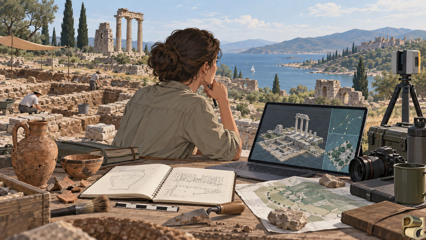
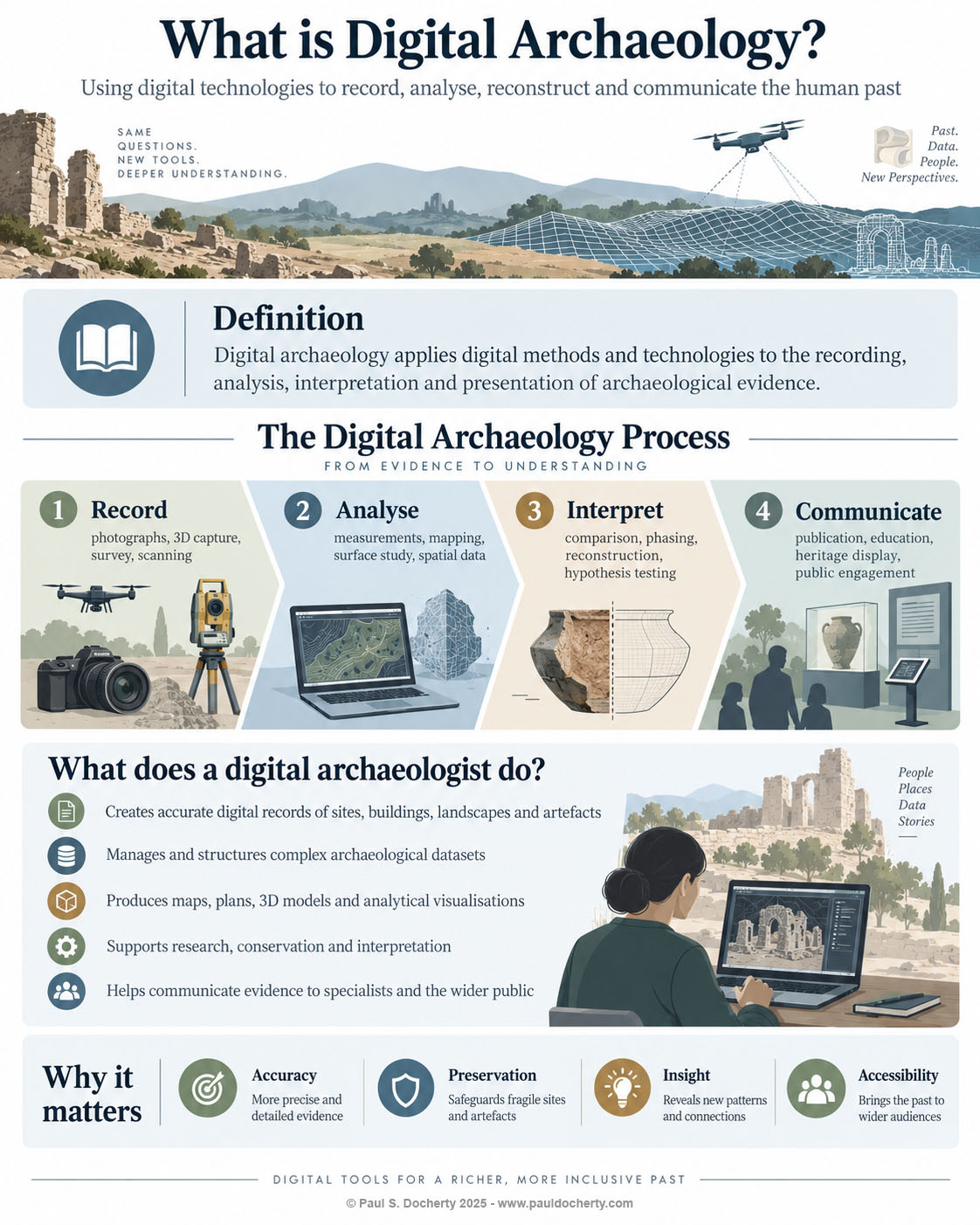
Digital archaeology can be defined as the application of digital methods and technologies to the recording, analysis, interpretation, management and communication of archaeological evidence. That definition is deliberately broad. It includes familiar technologies such as digital photography, databases and Geographic Information Systems, but it also extends to photogrammetry, laser scanning, remote sensing, three dimensional modelling, image analysis, simulation, virtual reconstruction and interactive visualisation. Increasingly it may also include computational approaches such as machine learning and automated pattern recognition. Yet none of these technologies is archaeological simply because it is digital. What makes the work archaeological is the question being asked, the context in which the data were produced and the critical interpretation applied to the result.
For that reason, digital archaeology is best understood not as a separate branch of archaeology, but as an extension of archaeological practice. It does not replace excavation, survey, artefact study, environmental archaeology, architectural analysis or historical research. Instead, it provides additional ways to record the material traces of the past, to connect different forms of evidence and to explore relationships that may be difficult to recognise through conventional methods alone. The computer, scanner, camera, drone or software package is therefore not the centre of the discipline. The archaeological problem remains the centre.
This distinction is especially important because the public face of digital archaeology is often dominated by spectacular visual outputs. A detailed three dimensional model, an immersive reconstruction or an animated ancient landscape can be compelling, but visual sophistication is not the same as archaeological value. A reconstruction may look authoritative while resting on uncertain assumptions; a highly detailed scan may contain enormous quantities of information without answering a meaningful research question. Good digital archaeology begins by asking what needs to be understood, what evidence exists, how that evidence can be recorded responsibly and which digital methods are appropriate to the problem.
The digital archaeologist within a project
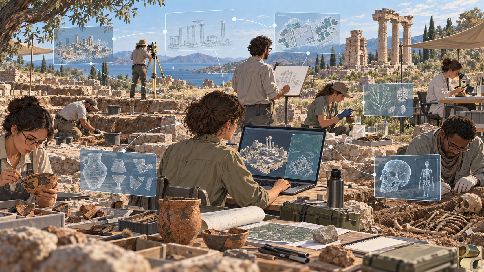
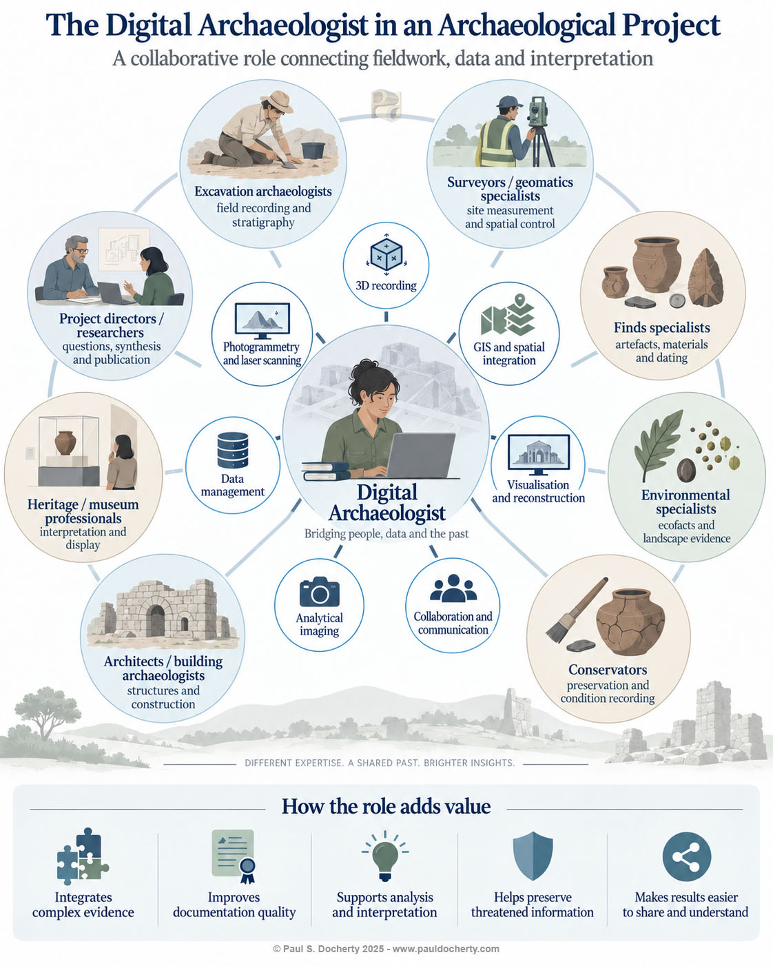
The role of the digital archaeologist becomes clearest when viewed within the wider structure of an archaeological project. Archaeology is inherently collaborative. Excavation archaeologists interpret stratigraphy and context. Surveyors establish accurate spatial control. Finds specialists study pottery, metalwork, stone, glass and other materials. Environmental archaeologists examine plant remains, animal bones, soils and sediments. Osteologists, or human remains specialists, study skeletal remains to investigate aspects of past lives such as age, biological sex, health, disease, trauma and patterns of activity, always within the ethical and cultural frameworks appropriate to the material being studied. Building archaeologists analyse structures and construction sequences. Conservators investigate condition, materials and deterioration, while historians, epigraphers and other specialists may contribute textual or comparative evidence. Each discipline produces information that is valuable in its own right, but the archaeological interpretation often depends upon understanding how those different forms of evidence relate to one another.
A digital archaeologist frequently works across these disciplinary boundaries. Their contribution is not simply to operate equipment or process photographs after fieldwork has finished. At their best, they help design how information will be collected, related, preserved and analysed from the beginning of a project. They may work with surveyors to establish coordinate systems and control networks, with excavators to decide how contexts will be recorded in three dimensions, with finds specialists to connect artefacts to their exact spatial provenance, and with osteologists to relate human remains accurately to graves, burial architecture, body position, associated objects and wider cemetery organisation. They may also work with conservators to document condition and with project directors to ensure that different datasets can ultimately be brought together within a coherent research framework.
Consider a single excavation trench. The field archaeologist may identify a sequence of deposits and structures, a surveyor may provide precise coordinates, a finds specialist may date pottery recovered from individual contexts, an environmental specialist may analyse samples, and a building specialist may interpret a surviving wall. If a burial is encountered, an osteologist may add a further body of evidence derived from the human remains, while precise spatial recording preserves the relationship between the individual, the grave, associated objects and the surrounding stratigraphy. A digital workflow can connect these observations so that the trench is not merely represented by a collection of separate records. Contexts, finds, human remains, samples, photographs, plans, measurements and three dimensional surfaces can become parts of the same spatial and intellectual model. The value of the digital archaeologist lies in helping that integration happen in a way that remains transparent, reproducible and archaeologically meaningful.
This is also why the digital archaeologist is most useful when involved from the planning stages rather than added at the end as a provider of technical services. Decisions made before fieldwork begins can determine whether data collected by different teams will later be compatible. Coordinate systems, file structures, metadata, naming conventions, survey control, image capture strategies, storage requirements and archiving plans may seem mundane beside the excitement of excavation, but they strongly influence the long term usefulness of the record. Early digital planning can prevent the common situation in which excellent individual datasets exist but cannot easily be related because they were produced according to different assumptions.
Recording the material past
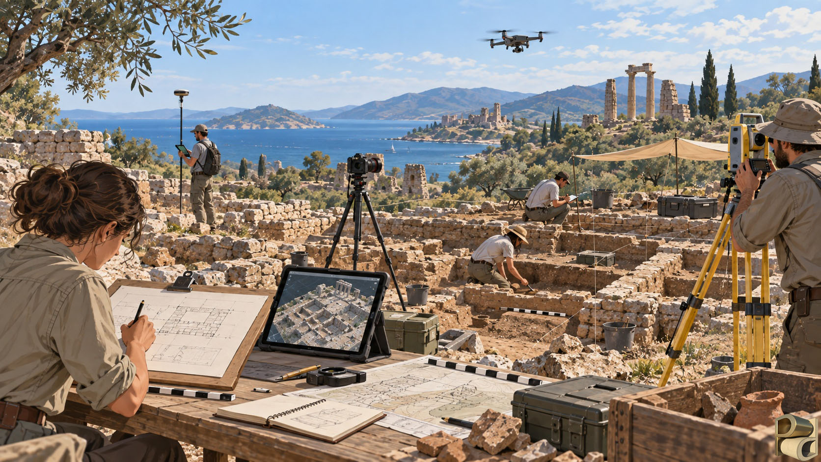
Much digital archaeological work begins with recording, because archaeology deals with material evidence that is fragile, incomplete and continually changing. Excavation is itself a destructive process: one deposit must often be removed to reveal the next. Standing buildings weather and collapse, landscapes are altered by agriculture and development, and artefacts may deteriorate even after they enter collections. Archaeologists have therefore always depended upon records that allow evidence to be studied after the moment of discovery has passed. Digital techniques greatly expand the richness of that record.
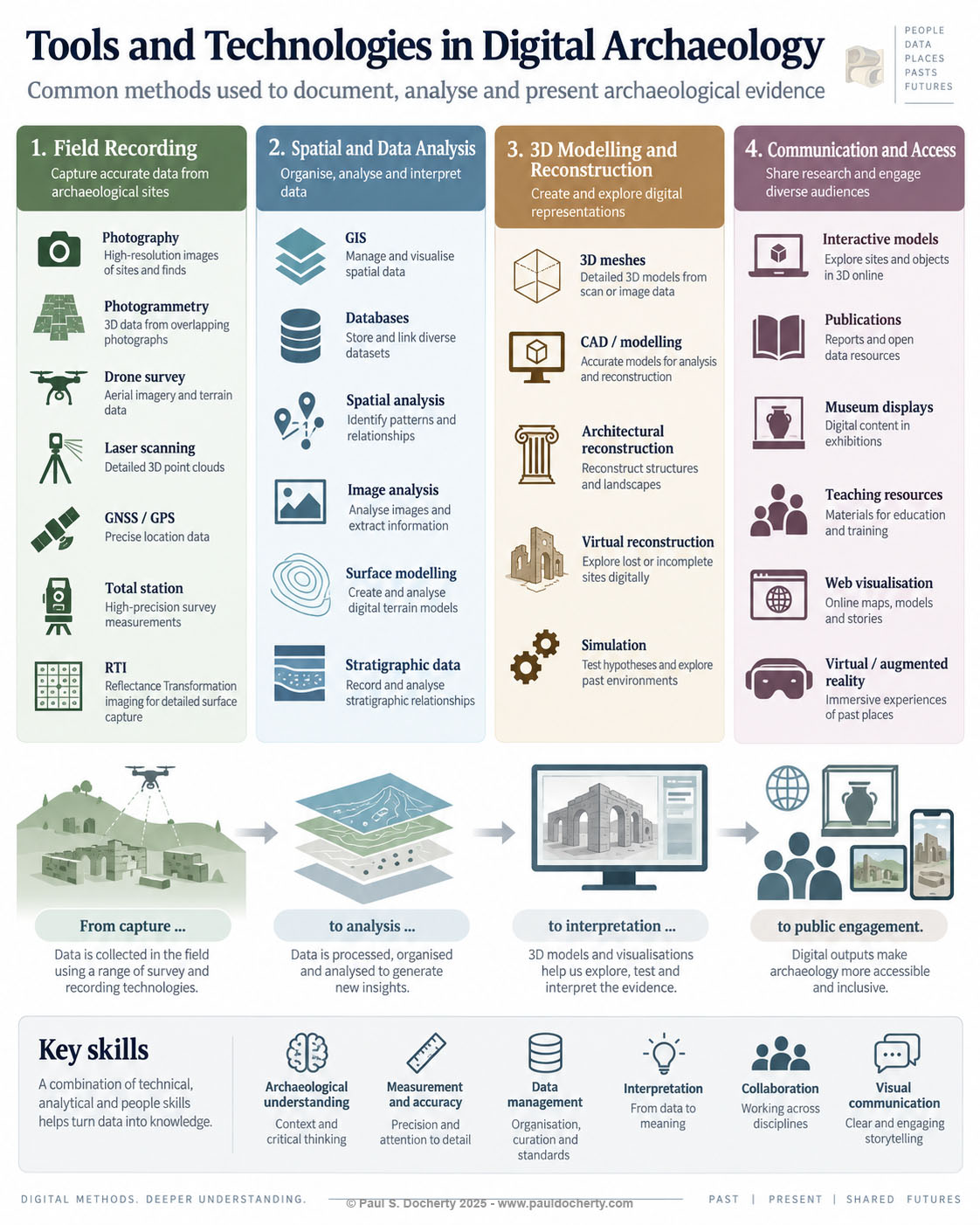
Photography remains fundamental, but a conventional photograph records a subject from a particular viewpoint. Three dimensional recording adds another dimension to that evidence by preserving the geometric relationships across a surface or structure. Photogrammetry, for example, derives three dimensional information from overlapping photographs. By identifying features that appear across many images and calculating how their positions change from one viewpoint to another, software can reconstruct the form of an artefact, excavation, building or landscape. The resulting dataset may then be used to create measured plans, orthographic images, digital elevation models, textured surfaces and analytical visualisations.
Laser scanning reaches the same broad goal by a different route, directly measuring large numbers of three dimensional points. It can be particularly effective in complex architectural spaces, monuments, caves or industrial structures where comprehensive geometric recording is required. Photogrammetry and laser scanning should not be seen as rival technologies so much as complementary techniques. The choice between them, or the decision to combine them, depends upon the subject, the required precision, the conditions in the field and the questions being asked.
Spatial control gives these records their wider archaeological meaning. GNSS receivers, total stations and other surveying systems allow individual observations to be related to a common coordinate framework. A wall recorded in three dimensions can therefore be connected to an excavation plan; an artefact can be located within a context; a trench can be situated within a settlement; and a settlement can be examined within its landscape. At smaller scales, techniques such as Reflectance Transformation Imaging can record how a surface responds to light from different directions, revealing inscriptions, tool marks or other shallow details that may be difficult to distinguish under ordinary illumination. The important point is not that one technique is universally better than another, but that digital archaeologists can select and combine methods according to the nature of the evidence.
From digital record to archaeological analysis
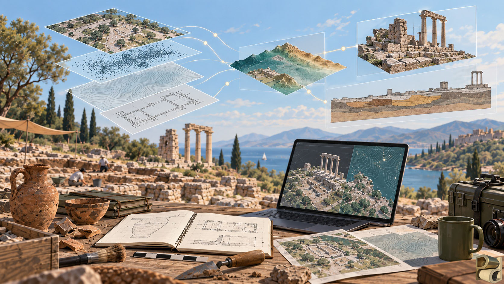
The creation of a digital record is only the beginning. Digital archaeology becomes most powerful when the resulting data can be examined in ways that extend beyond the conditions in which they were collected. Fieldwork is constrained by time, access, weather, lighting, excavation schedules and the physical vulnerability of the material. A well constructed digital dataset allows some aspects of the evidence to be revisited repeatedly, sometimes years after the field season has ended.
Three dimensional data are especially valuable in this respect. A textured model may reproduce the appearance of a surface, but the texture can also be removed so that shape alone becomes visible. Artificial lighting can be moved across the geometry to emphasise shallow relief. Sections can be generated through buildings or deposits. Distances, angles, areas and volumes can be measured repeatedly without touching the original material. Different phases can be compared, and the same dataset can be represented in several ways depending upon the question: as a realistic model, a plan, an elevation, a contour map, a surface normal visualisation or a digital terrain model.
The same principle applies to spatial data more generally. Geographic Information Systems allow archaeologists to bring together plans, coordinates, historical maps, environmental data, aerial imagery, excavation records and terrain models within a common spatial environment. This makes it possible to investigate relationships that are difficult to understand from isolated records. A researcher can examine how settlements relate to water sources, roads or soils; how movement through a landscape may have been constrained by topography; how visibility changes from one location to another; or how the distribution of artefacts varies across a site. GIS is therefore not simply a mapping tool. It is a means of treating location and spatial relationship as forms of archaeological evidence.
Databases perform a parallel role for information that is not primarily spatial. They allow large bodies of records to be structured, searched and related. The value of a database does not lie in replacing archaeological judgement with a rigid system, but in making connections easier to identify and in preserving the provenance of observations. When database records, spatial information and three dimensional data are designed to work together, an archaeological project gains the ability to move between scales: from a regional landscape to a building, from a building to a room, from a room to a context, and from a context to an individual object. That ability to navigate relationships is one of the defining strengths of digital archaeology.
Reconstruction as interpretation
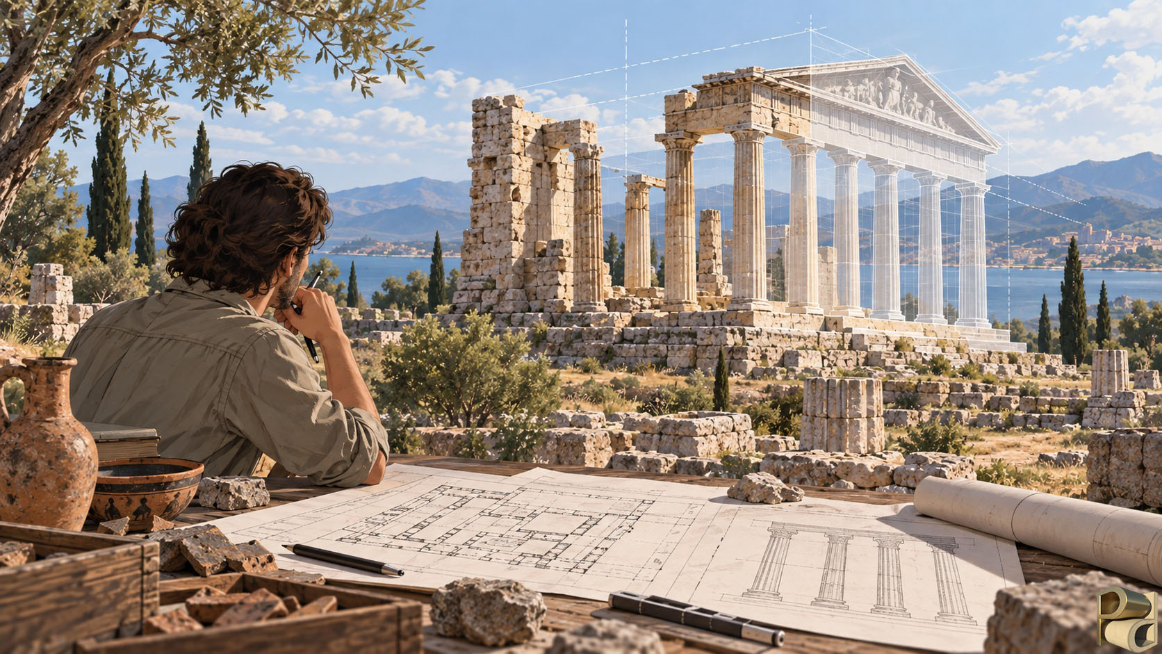
Three dimensional reconstruction is perhaps the most publicly recognisable form of digital archaeology, but it is also one of the areas in which critical archaeological judgement is most necessary. Archaeological sites rarely survive intact. Walls may remain only a few courses high; roofs, timber and upper storeys may have disappeared; decoration may survive only in fragments. Reconstruction attempts to move from what is preserved to what may once have existed, and that process inevitably involves interpretation.
A responsible digital reconstruction begins with evidence. The dimensions of surviving walls may establish the footprint of a building. Staircases can imply access to upper levels. Column bases may reveal the position of supports. Door sockets may indicate the operation of entrances. Fragments of plaster or paint may suggest decorative schemes. Historical photographs, excavation notebooks and early plans can preserve observations that are no longer visible, while better preserved contemporary buildings may provide comparative evidence for missing elements. Digital modelling offers a practical environment in which those strands can be assembled and tested.
The word tested is important. A reconstruction is not valuable only because it produces an image of the past. It can expose contradictions in an interpretation. A staircase may fail to reach the height proposed for an upper floor. A reconstructed roof may require a span that is structurally implausible. A window placed according to one hypothesis may illuminate a room differently from what the surviving architecture suggests. A proposed circulation route may be impossible once door widths and level changes are modelled accurately. In these cases, the digital model acts as a form of experimental reasoning. It makes assumptions spatially explicit and therefore easier to evaluate.
At the same time, digital reconstruction can create a dangerous illusion of certainty. Once walls are rendered, surfaces textured and lighting added, hypothetical elements may appear as convincing as directly recorded ones. The digital archaeologist therefore has a responsibility to preserve the distinction between observation and inference. A model should be able, conceptually or visually, to separate what survives from what has been reconstructed and to acknowledge where several alternatives remain possible. Uncertainty is not a weakness to be hidden; it is part of the archaeological argument.
Accuracy, precision and the limits of the digital
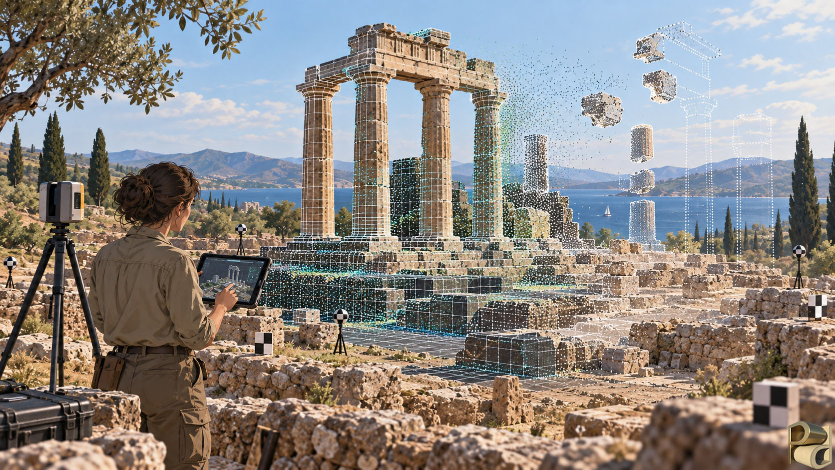
Digital archaeology is often associated with precision, and rightly so. Survey instruments can establish positions to centimetres or better, three dimensional recording can capture very fine surface detail, and software can calculate measurements with apparent exactness. Yet precision must not be confused with certainty. A coordinate can be precise while the interpretation attached to it remains uncertain. A model can contain millions of polygons and still represent an incomplete understanding of the site.
This distinction matters because digital outputs carry a visual authority that can exceed the strength of the underlying evidence. Numbers with many decimal places appear objective; smooth computer generated surfaces appear complete; reconstructed spaces can feel self evident once they are rendered realistically. The role of the digital archaeologist therefore includes critical evaluation of error, scale, resolution and uncertainty. What was actually measured? What was interpolated by software? What was inferred by the researcher? Which parts of the result depend upon assumptions? What degree of precision is meaningful for the archaeological question? These are archaeological questions as much as technical ones.
A good digital workflow consequently records provenance as carefully as geometry. It should be possible to understand how a dataset was produced, which instruments and settings were used, what coordinate system applies, how the data were processed and where interpretation entered the workflow. Reproducibility does not mean that every archaeological interpretation will be identical, but it should allow another researcher to understand the route from observation to conclusion.
Preserving information, not replacing the past
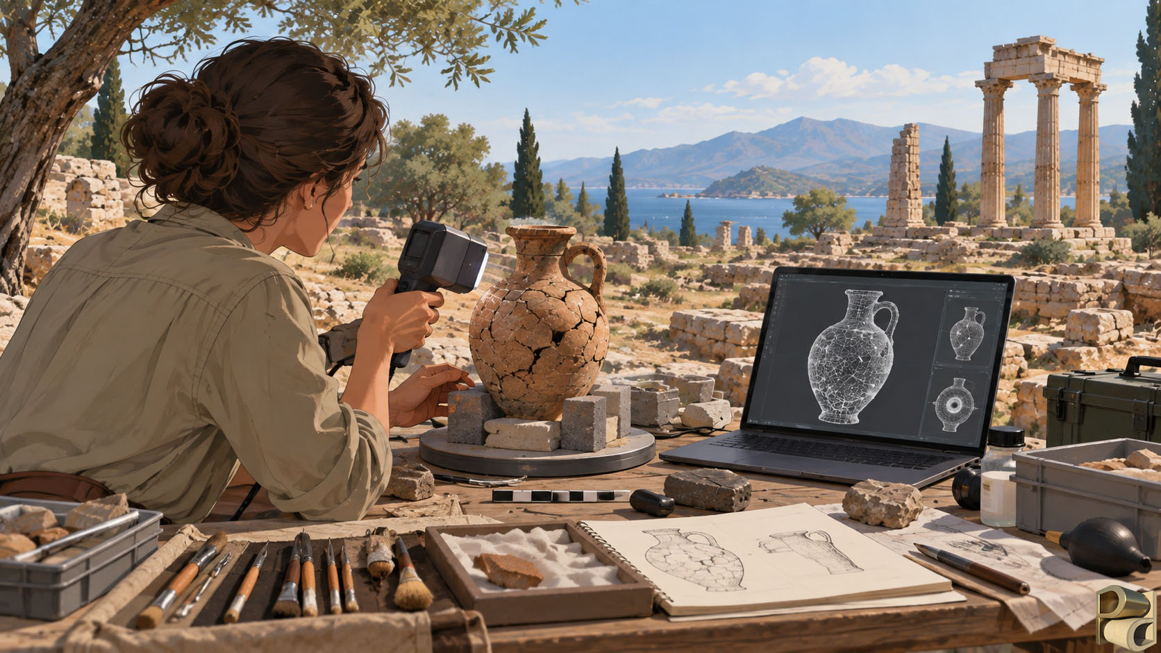
Digital archaeology is frequently described as a means of preservation. The statement is true, but only if preservation is understood carefully. A digital model does not preserve the physical monument, and a scan cannot replace an artefact. Material heritage has qualities of substance, scale, location, age and historical experience that no digital representation can reproduce. What digital recording can preserve is information about that material evidence at a particular moment in time.
That information may be extraordinarily valuable. A detailed survey can document a building before conservation or deterioration changes it. A three dimensional record can preserve the geometry of an excavation surface before the next phase of excavation removes it. A museum object can be studied remotely without repeated physical handling. A threatened landscape can be documented before development alters it. In each case, the digital record becomes a research resource that can outlive the circumstances of its creation.
There is, however, a second preservation problem: the digital record itself must survive. Archaeological projects now generate enormous quantities of photographs, models, spatial data, databases and analytical outputs. Digital files are not inherently permanent. Storage media fail, proprietary formats become obsolete, software changes and metadata can become detached from the material it describes. A model that exists but can no longer be opened, georeferenced or understood is only partially preserved.
For this reason, data management is not an administrative task that can be postponed until the end of a project. It is part of archaeological methodology. File naming, metadata, version control, coordinate systems, documentation, backup strategies and long term archiving determine whether a dataset will remain intelligible to future researchers. The aim is not simply to create more digital information, but to create information whose provenance and meaning can survive beyond the software and personnel of the original project.
Communication and access
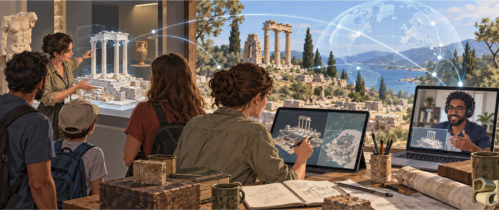
Archaeological research ultimately has to be communicated. Traditionally that has meant reports, drawings, photographs, catalogues and academic publications, all of which remain essential. Digital archaeology expands the range of ways in which evidence can be shared and can help different audiences engage with the same underlying research.
A detailed three dimensional model may allow a specialist to take measurements that were not anticipated during fieldwork. A conservator may use the same dataset to compare changes in condition. A museum can present a simplified interactive version to visitors. A lecturer can use it to explain the spatial organisation of a site to students, while an online publication can allow readers to examine the object or building directly rather than relying entirely upon selected illustrations. Digital communication is particularly valuable when the physical site is inaccessible, fragile, remote or difficult to understand from two dimensional documentation alone.
The ability to communicate visually also carries responsibilities. A reconstruction shown to the public should not silently transform uncertainty into fact. An immersive environment may be highly persuasive, and the more compelling the experience becomes, the more important it is that the interpretation remains connected to its evidence. The best digital public archaeology therefore does not merely make the past look vivid. It helps audiences understand how archaeologists know what they know, where the evidence is strong and where interpretation remains open.
This is one of the areas in which digital archaeology can connect academic research and public engagement particularly effectively. The same project that produces rigorous survey data for analysis can also generate visual material that helps non specialists understand archaeological reasoning. Accuracy and accessibility need not be opposing goals. When the underlying data are well structured and the interpretative process is transparent, different presentations can be created for different audiences without abandoning the integrity of the evidence.
A profession defined by judgement as much as technology
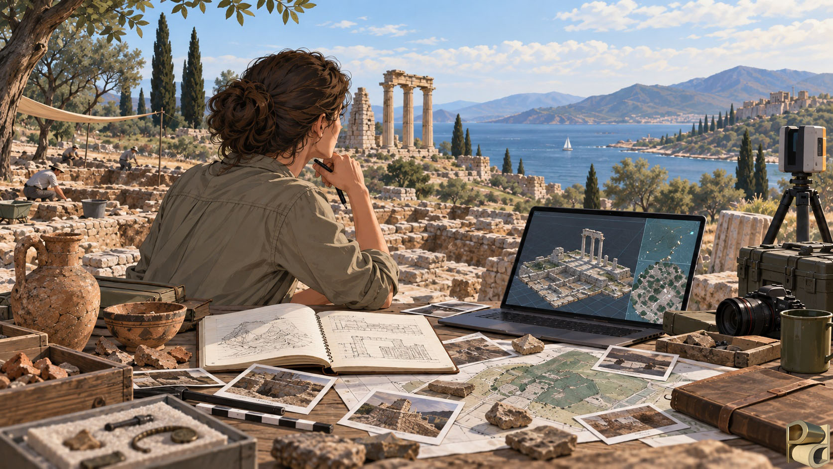
The range of technologies associated with digital archaeology can make the profession appear primarily technical. Technical competence is certainly important. A practitioner may need to understand photography, survey, coordinate systems, photogrammetry, laser scanning, GIS, databases, three dimensional modelling, image processing or programming. No individual is likely to specialise equally in all of them, and digital archaeology increasingly encompasses a wide range of specialist roles.
What unites those roles is not mastery of a particular software package. It is the ability to decide how digital methods should serve archaeological research. That requires an understanding of context, scale, measurement, uncertainty and interpretation. It also requires collaboration. A digital archaeologist must be able to speak to field archaeologists, surveyors, conservators, finds specialists, osteologists, project directors, curators and other researchers, because digital systems often sit at the points where their evidence meets.
This is why simply being able to produce a three dimensional model does not automatically make someone a digital archaeologist. The crucial skill is knowing what the model represents, how it was generated, what its limitations are and what archaeological questions it can legitimately address. Sometimes the appropriate solution will be technologically sophisticated. At other times, a simple measured photograph, database query or well designed map may answer the question more effectively. Digital archaeology is strongest when the method is proportionate to the problem rather than chosen for novelty.
Almost all archaeology is now digital to some degree. Excavations use digital cameras and databases; surveys use electronic instruments; publications are produced and distributed electronically. The specialist digital archaeologist becomes especially valuable where the project needs these activities to operate as a coherent system, or where advanced recording, spatial analysis, three dimensional investigation, computational methods or digital publication form an important part of the research design. Their role is less about introducing technology into archaeology than about ensuring that technology is used archaeologically.
Why digital archaeology matters
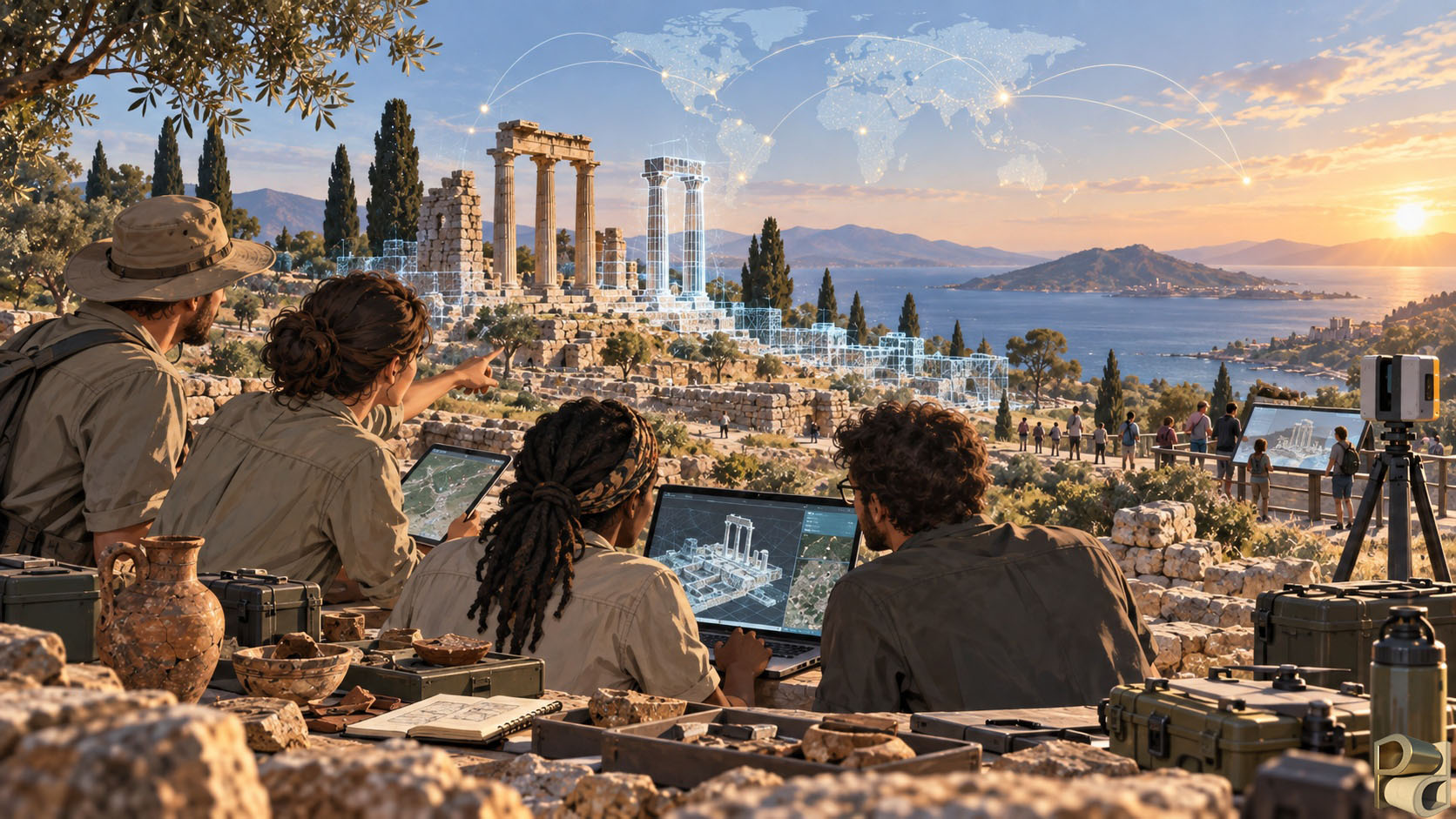
The significance of digital archaeology lies ultimately in the quality of the archaeological questions it allows us to pursue. It can record fragile evidence at a level of detail that would once have been impractical. It can connect observations made by different specialists and place them within a common spatial framework. It can allow a researcher to return to a wall, surface, excavation or landscape long after fieldwork has ended and examine it from a new perspective. It can make assumptions explicit through reconstruction, reveal patterns through spatial analysis and preserve information about evidence that may later change or disappear.
Just as importantly, it encourages archaeology to think carefully about the life of its data. A digital record can travel far beyond the excavation trench in which it was created. It may be analysed by researchers who were never present in the field, revisited when new questions arise, incorporated into future projects or presented to audiences who will never visit the original site. That possibility makes the quality of recording, documentation and preservation more consequential than ever.
The technologies will continue to change. Cameras will improve, scanners will become faster, software will automate more of the processing and new computational approaches will emerge. Some methods that currently seem advanced will become routine, while others will be replaced. Digital archaeology cannot therefore be defined by a fixed list of equipment or programs. Its more durable identity lies in a way of working: one that treats digital data as archaeological evidence, integrates technology into research design, preserves the relationship between observation and interpretation and uses new tools to deepen rather than obscure our understanding of the past.
Seen in this way, the digital archaeologist occupies an increasingly important position within archaeological research. They stand between the physical evidence and its digital representation, between the specialist datasets produced across a project and the interpretations built from them, and between the detailed record created for research and the forms in which that knowledge is ultimately shared. Their task is not to replace traditional archaeology with technology. It is to ensure that digital methods extend what archaeology can see, measure, connect, test and communicate while keeping the material evidence and the archaeological question firmly at the centre of the process.
The evidence remains archaeological. The questions remain archaeological. Digital technology gives us new ways to explore them.
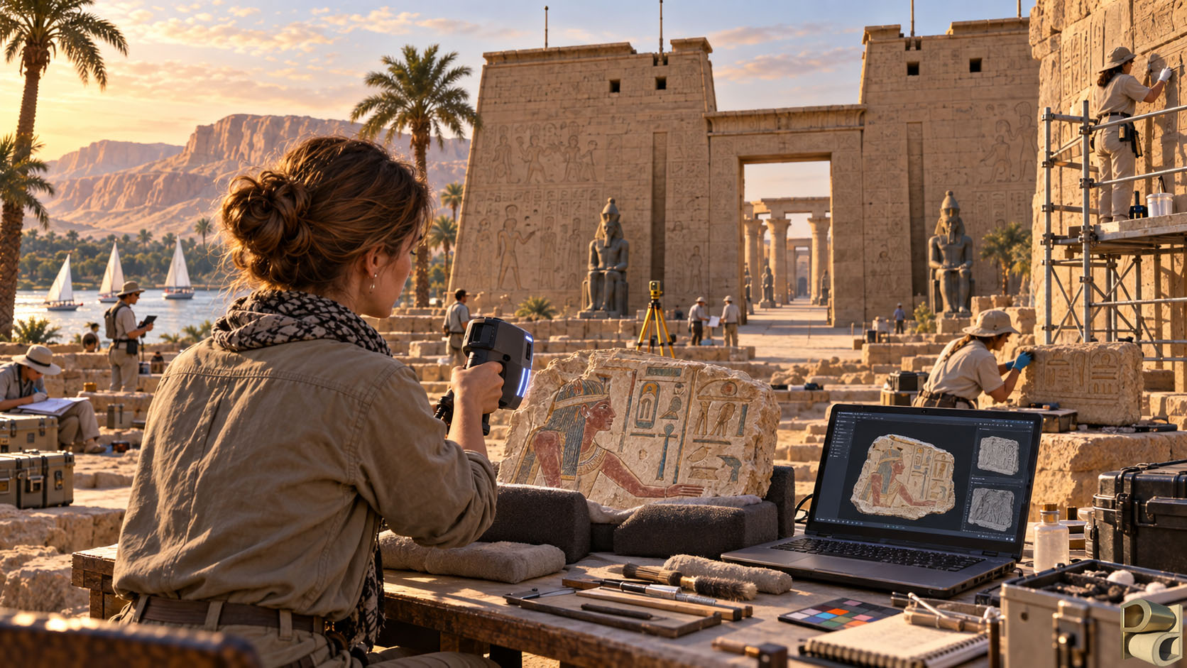
The images on this page are for illustrating the various topics and do not depict any actual real world locations